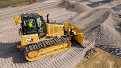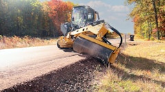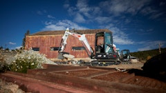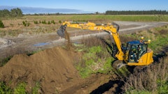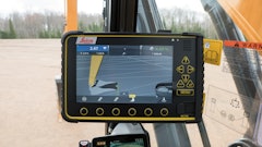
This advanced excavator guidance system includes single or dual GNSS (GPS + GLONASS) PowerBox and PowerAntenna sensors capable of precisely locating the exact 3D position of the bucket relative to the design surface.
- Calculates bucket position on the site, compares it to the 3D design model, then displays differences (cut/fill/slope) on a large, easy to see display screen
- Enables operator to design complex surfaces with several slopes and store on-the-fly data directly in the machine
- Can record the final excavated surface for as-dug reports
- Supports all common 3D design model formats
Request More Information
Fill out the form below to request more information about PowerDigger 3D