Eos Systems Inc. has introduced new photogrammetry software optimized specifically for photographs taken with drones or unmanned aerial systems (UAS).
- Creates 3D models, measurements, and maps from photographs taken with ordinary cameras built-in or mounted on drones
- Includes numerous features for optimized operation with drone photos including post processing kinematics (PPK), volume objects, full geographic coordinate systems support, multispectral image support and control point assist
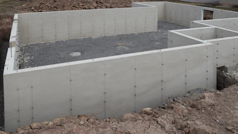
- For drone photogrammetry applications including surveying, ground contouring, surface model creation, stock pile volume measurement, construction, and more