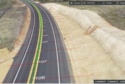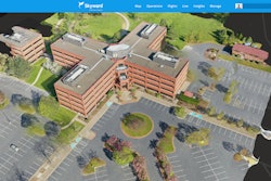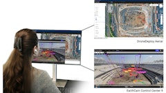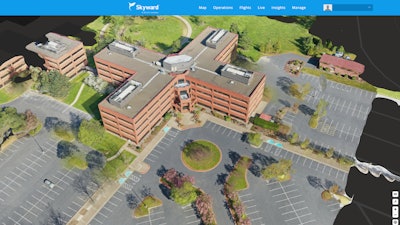
Skyward Mapping & Modeling, powered by Pix4D, enables customers to create, view, measure and export 2D orthomosaic maps and 3D photogrammetric models right from Skyward’s web app.
- Plan flights, receive approval to fly in controlled airspace with LAANC, fly with Skyward’s InFlight ground control station and process data using Pix4D from within the Skyward platform
- Provides access to business-ready data sets through a seamless plan, fly, process workflow
Learn more: Skyward Integration with Pix4D Provides Ability to Turn Drone Data into 2D Maps and 3D Models


