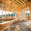
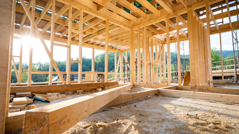
Exodigo offers a non-invasive subsurface imaging solution for the construction sector, through a partnership with Esri, a company developing Geographic Information System (GIS) software, web GIS and geodatabase management applications. The partnership aims to help governments and businesses deliver capital projects and de-risk underground operations at scale.
While traditional methods of underground mapping draw conclusions based on one or two types of sensors and visual hints, Exodigo employs multi-sensor fusion and processes varied signals with artificial intelligence (AI) into a single source. The density and speed of data collection and processing enables Exodigo to identify more buried assets.
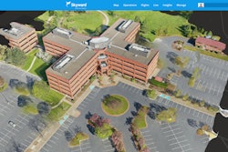
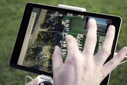
Esri ArcGIS users can now integrate Exodigo’s imaging and underlying data into existing underground utility maps to ensure that undocumented utilities are identified and even slight curves in utility paths can be visualized.
Esri empowers Exodigo to create live maps that can be reprocessed and improved over time. The client portal enables secure access to its proprietary maps that are updated based on the continuous improvement of the Exodigo imaging and algorithmic capabilities.
Exodigo’s multi-sensing platform generates enormous amounts of data that are processed and delivered in layers, including:
- A green corridor polygon representing a utility-free right of way for safe design
- A utility layer showing line identities
- An above ground utility assets layer (such as manholes, hydrants, etc.)
- An underground soil layer that highlights areas of possible ground distortion
- An optional layer adding available records in digital format
This technology partnership turns existing “as-builts” into verified “as-is” digital models of the underground at the precision required for asset management and downstream planning, design and construction.
"Exodigo solves the underground challenge with subsurface maps you can trust,” said Jeremy Suard, CEO and co-founder of Exodigo. “With this new partnership, ArcGIS users can access the complete picture of the underground with Exodigo on the Esri system in the exact digital format they need."