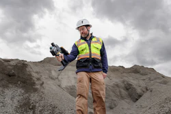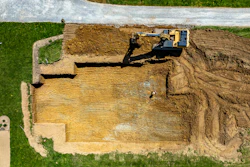

Trimble has launched the ST30 smart target, a surveying system that combines optical and GNSS capabilities in a single device. The system is designed for applications including topographic surveys, stakeout, as-built verification and cadastral work.
The ST30 integrates a 360-degree prism, IMU, GNSS receiver and automated rod height measurement. Tilt compensation supports both total station and GNSS measurements, while automated rod height measurements are designed to reduce errors associated with manual adjustments.
The system also includes active tracking and target identification features designed to maintain total station lock in challenging environments. Integrated GNSS, offered as a separate subscription beginning in 2027, allows surveyors to work beyond optical line-of-sight limitations.
The ST30 is compatible with Trimble robotic total stations and software including Trimble Access, Siteworks, FieldLink, Business Center and Trimble Connect. It is scheduled to be available through Trimble dealers in the fourth quarter of 2026.