At CONEXPO-CON/AGG 2020, InSite Software unveiled its InSite Elevation earthwork take-off software platform. The earthwork estimating tool is completely redesigned to provide a more dynamic and productive user experience and will be available in two software options: Pro and Lite. Members of the InSite team will demonstrate the ways contractors can use the new InSite Elevation software package throughout the show in the InSite booth #S62745.
“Earthwork can eat up a large portion of a total build budget and represent the most risk," says Steve Warfle, product manager for Insite Software. "Estimators need to be able to trust the earthwork quantities and prove their numbers."
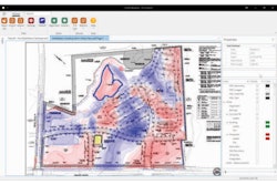
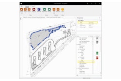
InSite Elevation Lite calculates cut and fill, stripping, strata quantities, paving and concrete materials, topsoil re-spread, areas, lengths, trench excavation, and backfill. Warfle says Elevation Lite is accurate and fast, with high-quality graphics and easy-to-read reports, allowing estimators to validate their results.
"If there comes a day when CAD import, utility take-off, and GPS grade control modeling is needed, upgrading to the Elevation PRO version is a quick and easy transition,” says Warfle.